Your locations
Name the places you monitor and set an individual radius. IGNIS assigns compatible sources and exposes location-specific sensors and events.
THE WILDFIRE PRODUCT FROM TERRALYRA
A Home Assistant integration that brings geographically relevant fire detections together into trackable incidents—with source information, observation times and events you can use.
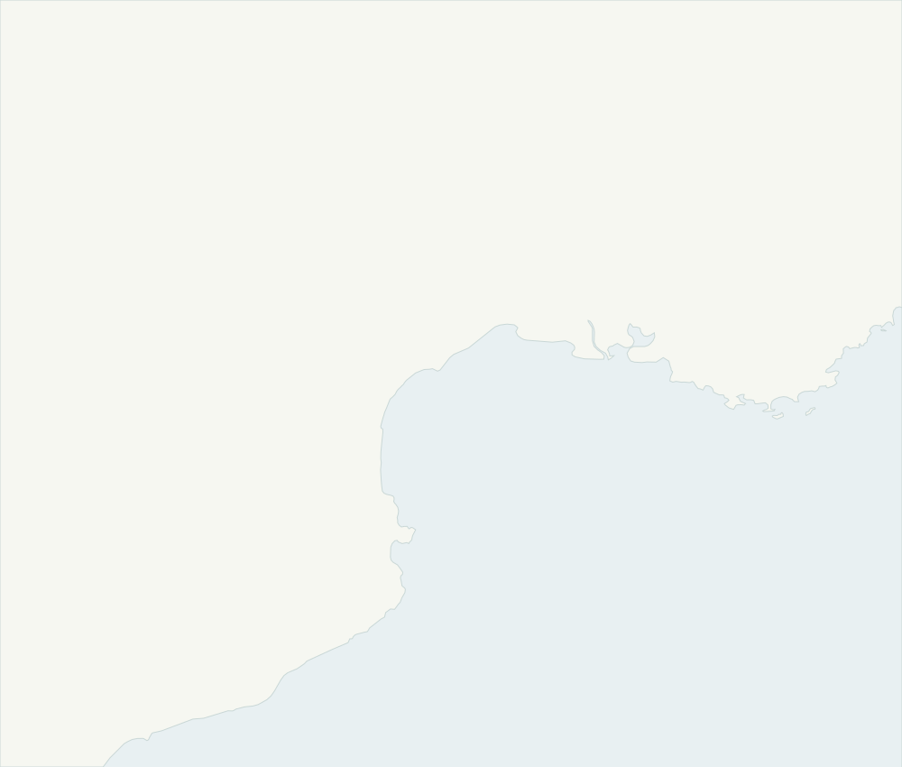 NarbonneMontpellierPerpignanGulf of LionMap: Natural Earth · Public domain
HOME ASSISTANT INTEGRATION
IGNIS turns satellite observations into location-aware incidents, then makes that context available in Home Assistant.
Name the places you monitor and set an individual radius. IGNIS assigns compatible sources and exposes location-specific sensors and events.
Related detections are grouped and tracked over time. Map markers keep source information, distance, observation times and activity trends together.
Inspect provider health and freshness. An empty observation, delayed product and unavailable source are different states.
Use new-fire and trend-change events to build Home Assistant notifications suited to each location. Initial setup seeds existing observations to avoid an alert flood.
TWO DIFFERENT QUESTIONS
Satellite sensors detect thermal activity. IGNIS groups the available observations into incidents; independent sources may corroborate them. This is not an official fire confirmation.
The European FRMv3 product describes conditions favourable to fire, with daily forecasts for today and the following nine days. Current documented forecast entities are tied to Home. Wider, location-aware coverage is in development.
Clouds, the satellite orbit, filtering and publication delays can all affect the result. No detection does not prove that no fire exists. Source health and the age of the observation matter alongside the incident itself.
ADDITIONAL CONTEXT
MTLST can add a satellite estimate of the radiative temperature of the ground. It is optional, coverage-dependent and different from shaded air temperature.
PRIVACY & DATA
Processing and place-name lookup run in your Home Assistant installation, while satellite observations come from external services. Area coordinates and configured credentials are sent where required by those services.
Read the data-flow documentationBRING THE CONTEXT HOME
Install IGNIS, choose a location and explore the observations available in your area.