Monitor your places
Keep an eye on the places that matter. Set a monitoring area around your home, a holiday property or another named location.
TERRALYRA IGNIS · FOR HOME ASSISTANT
Follow nearby fire activity, connect satellite observations, and bring meaningful updates into Home Assistant.
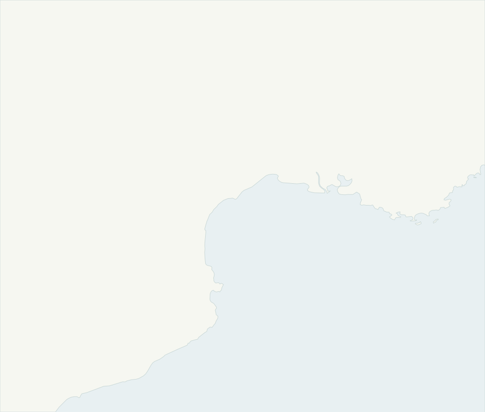 NarbonneMontpellierPerpignanGulf of LionMap: Natural Earth · Public domain
YOUR SURROUNDINGS, IN CONTEXT
Keep an eye on the places that matter. Set a monitoring area around your home, a holiday property or another named location.
See related satellite detections brought together into incidents, with their contributing sources preserved.
Bring maps, sensors and new-incident events into Home Assistant. Choose the notifications and automations that work for you.
CONNECTED TO YOUR HOME
IGNIS turns satellite observations into location-aware incidents, then makes that context available in Home Assistant.
NarbonneMontpellierPerpignanGulf of LionMap: Natural Earth · Public domainHOW IT WORKS
A transparent path from the satellite source to the places you follow.
Geographically relevant sources supply timestamped satellite detections.
IGNIS filters and groups related detections, retaining the evidence behind each incident.
Track nearby activity on your map and use Home Assistant events to trigger updates.
DATA WITH CONTEXT
Sources are assigned to monitored locations according to their geographic coverage and your configured credentials.
MTG · MSG-IODC
Geostationary fire observations within the supported MTG and Indian Ocean coverage areas.
Source detailsGOES-18 · GOES-19
Public fire and hot-spot observations for geographically supported locations in the Western Hemisphere.
Source detailsSENTINEL-3A · SENTINEL-3B
Public SLSTR observations between 82°S and 82°N, collected as the satellites pass over an area.
Source detailsVIIRS · MODIS
Optional near-real-time satellite observations for monitored areas around the world.
Source detailsCoverage is source-dependent. Product cadence is not a guaranteed alert time: clouds, overpasses, publication delays and outages affect the observations you receive.
Observations indicate detected thermal activity. Fire-risk forecasts describe conditions that favour fire. IGNIS currently also supports the European FRMv3 forecast; that is not a promise of worldwide fire-risk coverage.
THE TERRALYRA PROJECT
TerraLyra explores how environmental observations can become useful in everyday tools. IGNIS is its wildfire-focused Home Assistant integration, built openly with visible source data and an evolving roadmap.
Follow the project on GitHubSatellite observations, incident tracking, maps and automation events for the places you monitor.
Location-aware forecasts and evaluation of global sources, including GWIS. Availability will follow validation.
A FEW USEFUL ANSWERS
BRING THE CONTEXT HOME
Install IGNIS, choose a location and explore the observations available in your area.